< WikiProject Tajikistan
WikiProject Tajikistan/for later
List of tags that might be relevant for later... But for now, let's focus on what's here
Other transportation-related objects
NB: all the tags below will first require that the road network has been reasonably mapped.
| Key | Value | Element | Comment | Rendering | Photo | |
|---|---|---|---|---|---|---|
| Lifecycle | ||||||
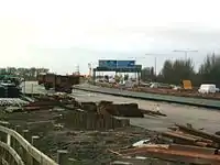
| highway | construction | For roads under construction. Use construction=* to hold the value for the completed road. | 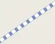 |
 | ||
| Attributes | ||||||
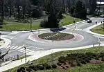
| junction | roundabout | This automatically implies oneway=yes, the oneway direction is defined by the sequential ordering of nodes within the Way. This applies on a way, tagged with highway=* already. | 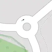 |
 | ||
| lit | yes/no | Street lighting | 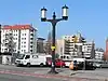 | |||
| mountain_pass | yes | The highest point of a mountain pass. | 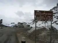 | |||
| Other features | ||||||
| highway | bus_stop | A small bus stop. Can be mapped more rigorously using public_transport=stop_position for the position where the vehicle stops and public_transport=platform for the place where passengers wait. See public_transport=* for more details. | 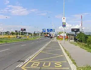 | |||
| highway | crossing | Pedestrians can cross a street here; e.g., zebra crossing | 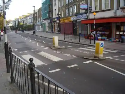 | |||
| highway | give_way | A give way sign | 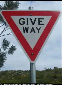 | |||
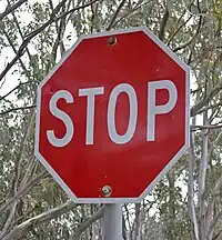
| highway | stop | A stop sign | |
 | ||
| highway | traffic_signals | Lights that control the traffic | 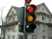 | |||
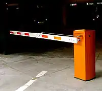
| barrier | bollard/ cattle-grid/ gate/ lift_gate/ stile toll_booth etc | Used to describe various barriers on the route - normally defined as nodes at the appropriate location. |  |
 | ||
Others to be defined...
...
This article is issued from Openstreetmap. The text is licensed under Creative Commons - Attribution - Sharealike. Additional terms may apply for the media files.