South Derbyshire
| V・T・E |
| latitude: 52.8, longitude: -1.54 |
| Browse map of South Derbyshire 52°48′00.00″ N, 1°32′24.00″ W |
| Edit map |
|
External links:
|
| Use this template for your city |
South Derbyshire is a district in Derbyshire at latitude 52°48′00.00″ North, longitude 1°32′24.00″ West.
South Derbyshire is a district in the county of Derbyshire.
Locations
Towns
Villages and other localities
This list is taken from OS OpenData Locator (see Ordnance_Survey_Opendata). Note that some localities may be partially in South Derbyshire and another district. Where these are civil parishes and have been imported from OS OpenData Boundary line a link to the relation is included.
- Ash 948125
 948125
 - Aston upon Trent 948203 948203
- Barrow upon Trent 948526 948526
- Barton Blount 948112 948112
- Bearwardcote 948120 948120
- Bretby
- Burnaston 948523 948523
- Calke 948205 948205
- Castle Gresley
- Cauldwell
- Chellaston (mainly in Derby, but Snelsmoor Lane (or part of it) is listed in South Derbyshire)
- Church Broughton 948113 948113
- Coton in the Elms
- Dalbury Lees
- Drakelow
- Egginton
- Elvaston 948201 948201
- Etwall 948124 948124
- Findern 948524 948524
- Foremark 948139 948139
- Foston and Scropton
- Gresley (Church Gresley and Castle Gresley)
- Hartshorne
- Hatton
- Hilton 948123 948123
- Hoon
- Linton
- Lullington
- Marston on Dove
- Midway
- Netherseal
- Newhall
- Newton Solney
- Osleston and Thurvaston 948126 948126
- Overseal
- Radbourne 948525 948525
- Repton 948140 948140
- Rosliston
- Shardlow and Great Wilne 948204 948204
- Smisby
- Stanton by Bridge 948202 948202
- Stenson Fields 948528 948528(a suburb of Derby, but largely in South Derbyshire district)
- Sutton on the Hill
- Swarkestone 948207 948207
- Ticknall 948138 948138
- Trusley 948119 948119
- Twyford and Stenson 948527 948527
- Walton upon Trent
- Weston upon Trent 948810 948810
- Willington 948141 948141
- Woodville
Hiking, Biking and Horseriding Trails
The National Forest Way 3748275![]() 3748275 runs through here.
3748275 runs through here.
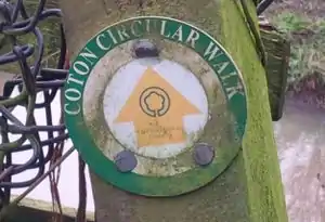
Other trails near here include the Coton in the Elms Circular Walk 7865052![]() 7865052
7865052
and Spires and Stiles 7865081![]() 7865081
7865081
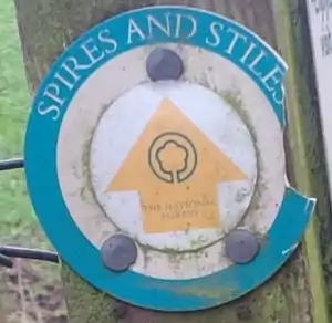
(both incomplete).
This article is issued from Openstreetmap. The text is licensed under Creative Commons - Attribution - Sharealike. Additional terms may apply for the media files.