< List of featured images

List of featured images/2009

Star image.
edit

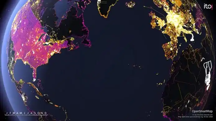
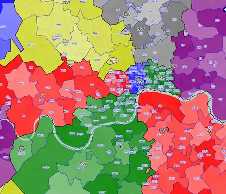
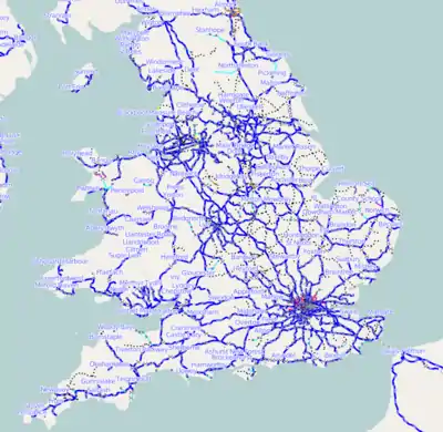
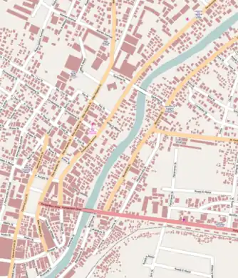
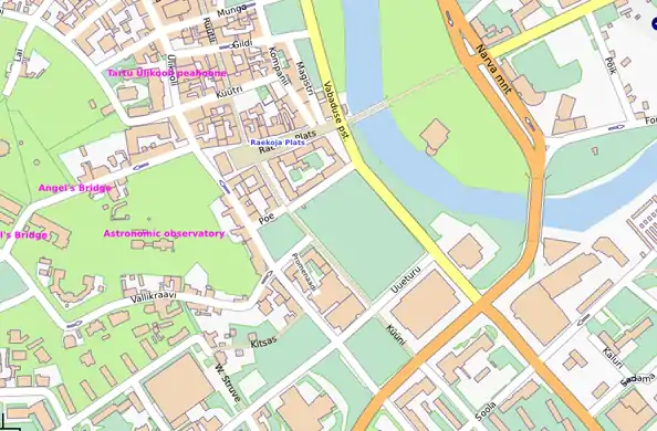
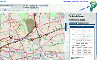
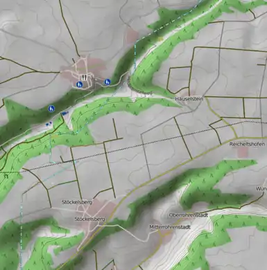
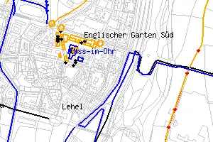
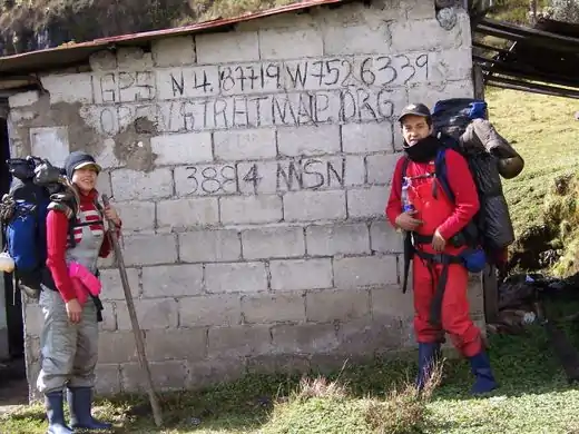
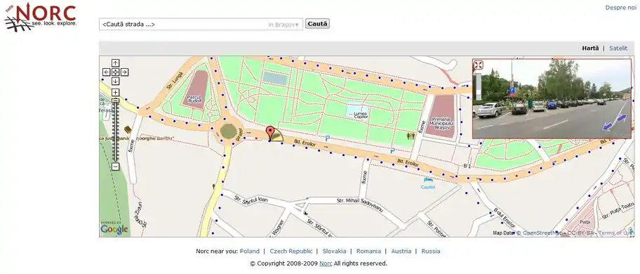
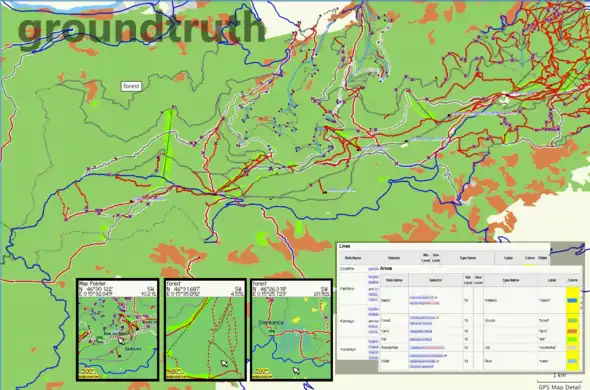
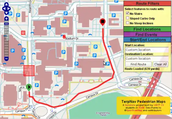
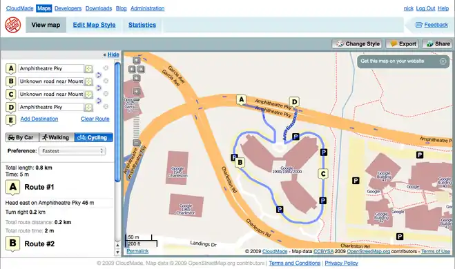
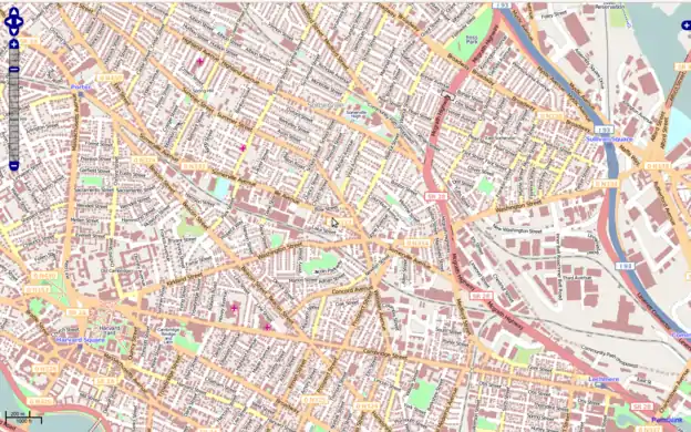
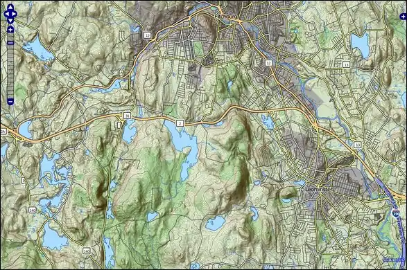
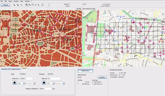
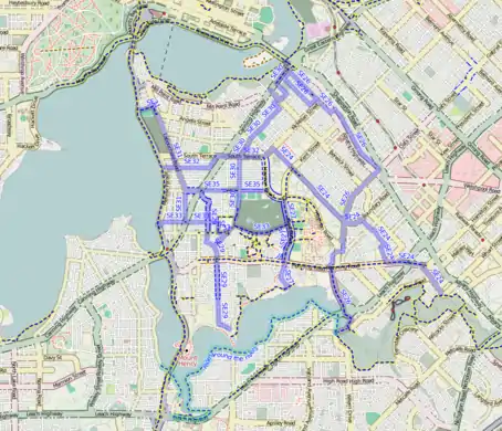
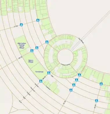
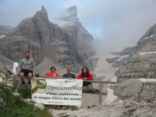
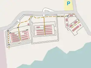
These are featured images, which have been identified as the best examples of OpenStreetMap mapping, or as useful illustrations of the OpenStreetMap project.

If you know another image of similar quality, you can nominate it on Featured image proposals.

2009

Week 1
(29 Dec. – 4 Jan.)
English A frame from 'OSM 2008 - A year of edits'. Other stills available on Flickr. Animation on the ITO Vimeo site from midnight (Australia time) on Dec 31st.
edit
Week 2
(5–11 Jan.)
English Postcodes in London, as displayed on the postcode map
edit
Week 3
(12–18 Jan.)
English Railways in the UK are now available on OpenTrainMap and on OSM UK rail network map
edit
Week 4
(19–25 Jan.)
English The Naga City GIS released their data to public domain and is now imported to OSM. All roads, railways, rivers and buildings.
edit
Week 5
(26 Jan. – 1 Feb.)
English Map of Tartu, the green University town in Estonia were contributed by the City Government
edit
Week 6
(2–8 Feb.)
English Where-can-i-live uses OSM maps to display houses within a certain commute time of work
edit
Week 7
(9–15 Feb.)
English A hiking map is available, showing the relief and contours of the landscape, and highlighting paths and trails (Note: Now seems to be described at DE:OSMC Reitkarte)
edit
Week 8
(16–22 Feb.)
English osmdiff is a program to visualize and report changes in an area (e.g. see osmdiff reports)
edit
Week 9
(23 Feb. – 1 Mar.)
English Colombian mappers in the Ruiz Volcano (view map)
edit
Week 10
(2–8 Mar.)
English http://www.norc.ro is a service similar to Google StreetView, offered by a Romanian company. They are using OpenStreetMap as an overlay to display the panoramas (only for Romania at higher zoom levels for now). They also donated 16 GB of GPS logs and gave us permission to derive data from their images.
edit
Week 11
(9–15 Mar.)
English GroundTruth is a new mapmaking tool for converting OSM data into Garmin maps. This featured image is a collage of various screenshots taken from MapSource, a Garmin unit and from Wiki pages containing rendering rules.
edit
Week 12
(16–22 Mar.)
English Computer Science students at the University of Maryland have created a pedestrian routing map based on OpenStreetMap data. Support is even included for wheel friendly routing, and avoiding certain areas.
edit
Week 13
(23–29 Mar.)
English OSM-3D view of Dresden from a Java 3D Map at http://www.geographie.uni-bonn.de/karto/osm-3d/screenshots.en.htm
edit
Week 14
(30 Mar. – 5 Apr.)
English With the recently finished ABS Import of suburb boundary data, all of Australia has relatively up-to-date suburb boundary information. Image shows progress of import in Brisbane area, created using OSM Mapper.
edit
Week 15
(6–12 Apr.)
English Routing plugin for JOSM
edit
Week 16
(13–19 Apr.)
English GroundTruth-generated relief contours map for Garmin GPS units. The elevation data source is SRTM. This is a MapSource screenshot of map tiles. See here for more info.
edit
Week 17
(20–26 Apr.)
English CloudMade's routing API gives turn-by-turn directions for vehicles, bicycles and pedestrians - all powered by OSM data (shown: route around Googleplex)
edit
Week 18
(27 Apr. – 3 May)
English The building and open space layers from MassGIS for large swathes of Massachusetts have been imported thanks to effort by User:crschmidt and others in the region.
edit
Week 19
(4–10 May)
English Sir Tim Berners-Lee recently received both a doctor honoris causa award (for his outstanding contributions to the WWW ) and a hi-viz vest (for his outstanding mentions of OSM )
edit
Week 20
(11–17 May)
English TopOSM is a topographic view of OSM data
edit
Week 21
(18–24 May)
English MapAnalyst is an open source tool for distortion analysis in old maps, that uses OSM as a the default reference cartography. (Shown here: 1:50k map of Madrid dated from 1875)
edit
Week 22
(25–31 May)
English The first GPS device donated by the OSM Foundation's GPStogo scheme at the mapping party and conference in Neiva Colombia
edit
Week 23
(1–7 Jun.)
English The Sunderland Mapping Party being an example of the successful Mapping parties idea. Sunderland was chosen from the UK Mapping Priorities list.
edit
Week 24
(8–14 Jun.)
English A printed map of Birmingham is available thanks to the Mappa Mercia subproject
edit
Week 25
(15–21 Jun.)
English A "heat-map" of OpenStreetMap complexity worldwide (Tah-heatmap)
edit
Week 26
(22–28 Jun.)
English The HaptoRender project has created the first tactile map using OpenStreetMap data.
edit
Week 27
(29 Jun. – 5 Jul.)
English The osmlive service shows worldwide OSM edits in delayed real-time. This image shows the result of a typical 24 hours of activity.
edit
Week 28
(6–12 Jul.)
English Trafficman Maps From Android 1.0 Released - create OSM from your T-Mobile G1
edit
Week 29
(13–19 Jul.)
English A multi-scale density visualization shows vessel movements in front of Rotterdam harbor.

More info and large-scale overlays: Visualization of vessel movements by Niels Willems, Huub van de Wetering and Jarke J. van Wijk

edit
Week 30
(20–26 Jul.)
English Group photo from State Of The Map 2009. Watch the videos of each talk, see photos, slides, videos, and links
edit
Week 31
(27 Jul. – 2 Aug.)
English 3D terrain view of a route from http://www.osm-3d.org
edit
Week 32
(3–9 Aug.)
English Palestine mappers (see their map, or SotM presentation)
edit
Week 33
(10–16 Aug.)
English Sea marks (e.g. buoys) are now rendered on the OpenSeaMap
edit
Week 34
(17–23 Aug.)
English View the map in Irish (parks in Baile Átha Cliath being shown on Ævar Arnfjörð Bjarmason's experimental wikipedia rendering), or some other language.
edit
Week 35
(24–30 Aug.)
English Cycle networks in Perth. Add more routes using the cycle tagging
edit
Week 36
(31 Aug. – 6 Sep.)
English Black rock city, from Burning Man
edit
Week 37
(7–13 Sep.)
English Dolomiti Mapping Party three days on the Chain of the Brenta's Dolomites. Here we are at Tuckett alpine hut
edit
Week 38
(14–20 Sep.)
English Camp Delta in US naval base Guantánamo Bay (wiki)
edit
Week 39
(21–27 Sep.)
English A tourist map of the Gaza strip! Would you ever see this from a commercial map?
edit
Week 40
(28 Sep. – 4 Oct.)
English Peculiar spiral street arrangement in the Pineta area of Lignano Sabbiadoro, Italy (map)
edit
Week 41
(5–11 Oct.)
English Bethlehem mappers (see map, SotM presentation, WikiProject)
edit
Week 42
(12–18 Oct.)
English The Hüttenbach tourism association posted 12 printed maps of their area
edit
Expression error: Unexpected < operator.Expression error: Unexpected < operator.Expression error: Unexpected < operator.Expression error: Unexpected < operator.Expression error: Unexpected < operator.Expression error: Unexpected < operator.Expression error: Unexpected < operator.Expression error: Unexpected < operator.Expression error: Unexpected < operator.Expression error: Unexpected < operator.
This article is issued from Openstreetmap. The text is licensed under Creative Commons - Attribution - Sharealike. Additional terms may apply for the media files.