Italy
| V・T・E |
| latitude: 42.610, longitude: 12.041 |
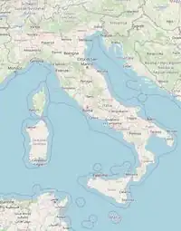
| Browse map of Italia 42°36′36.00″ N, 12°02′27.60″ E |
| Edit map |
 |
|
External links:
|
| Use this template for your city |
 |
Italia Mapping Project, the home of Italia on the OpenStreetMap wiki. |
| Ciao! Welcome to the project for mapping efforts in Italia! You can find here national events, ongoing projects, map status and mapping guidelines, as well as links to other pages directly related to the mapping of Italia. You may also find a list of contacts and mappers involved with the OpenStreetMap community in Italia. |
|
| ||||||||||||||||||||||||


This article is issued from Openstreetmap. The text is licensed under Creative Commons - Attribution - Sharealike. Additional terms may apply for the media files.